Here’s what you need to know about La Niña 2020/21
- Australia is now in an active La Niña phase
- Typically, La Niña brings more rainfall, particularly across northern and eastern Australia with an increase in the risk of flooding and cyclones
- Prepare your home and business now and reassess your insurance
After putting the country on La Niña notice earlier in the year, the Bureau of Meteorology (BOM) has declared the weather event is underway, and we’ve moved into an active La Niña phase.
La Niña, part of the El Niño-Southern Oscillation, increases the temperature of the waters near Australia and cools waters off South America. This results in more moisture in our air and increases the chances of cooler temperatures, clouds and rain, flooding and cyclones.
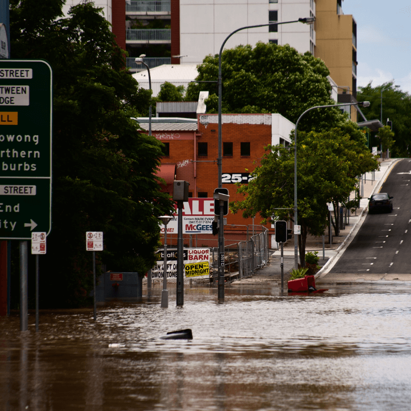
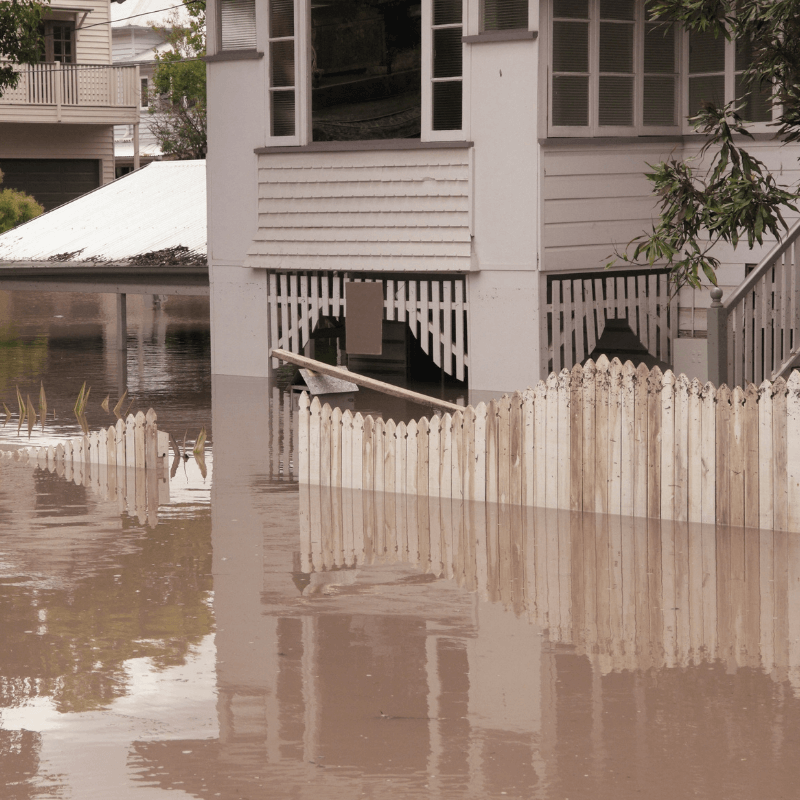
While a La Niña usually lasts for between nine and twelve months, the previous La Niña in Australia spanned a longer timeframe. It occurred in 2010-2012, bringing with it the wettest two years on record – flooding large parts of south-east Queensland, including Brisbane.
“Typically, La Niña brings more rainfall, particularly across northern Australia and into eastern Australia as well,” said the BOM’s Dr Andrew Watkins.
“As that wets up the soil, it does increase the risk of flooding whenever we get a big rainfall.”
Although the BOM believes this one isn’t going to be as severe as the previous La Niña, it is urging people to be on guard.
“Be aware of local impacts, said Dr Watkins. “Flooding, heavy rains and storms can occur at any time in a La Niña.”

Increased cyclone risk
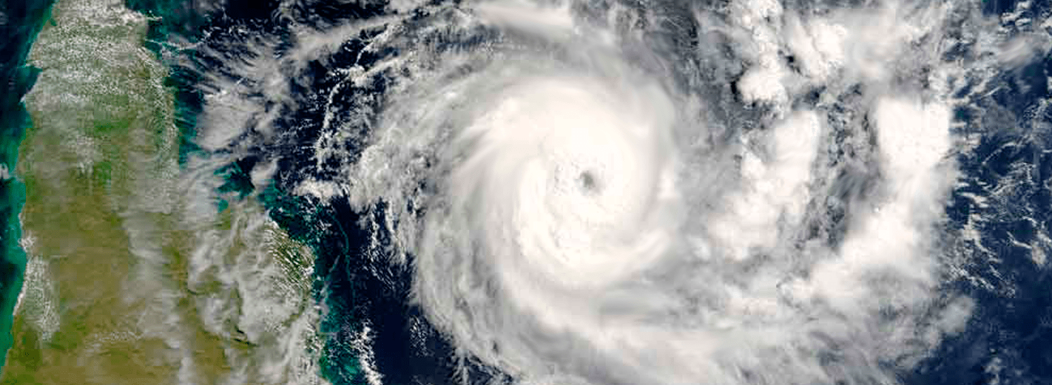
Thanks to La Niña, the frequency of high winds and cyclones are heightened too.
While Australia usually has between nine and thirteen tropical cyclones each year, La Niña can increase that number. While the 2010-12 event saw an average number of cyclones, the 1983-84 La Niña brought with it nineteen.
Within days of La Niña officially being declared, warnings were issued in Victoria for 100km/h winds, and very heavy rainfall, which was predicted to cause flash flooding.
La Niña season is very much upon us.
Related article: The La Nina effect: how to prepare for the storm
Increased rainfall does have some benefits, however. Areas of the country still affected by drought will welcome a higher-than-average number of downpours – farmers particularly buoyed by the prediction that the rainfall should ease come harvest time – and it should also dampen some bushfire activity.
“We can’t avoid some fires in any summer now,” said Dr Watkins.
“La Niña, with a bit of extra rainfall, will hopefully keep those fires a little smaller and a little shorter than what we’ve seen in recent years.
“It reduces the bushfire potential a little but doesn't extinguish it completely.”
That trail of thought should be tempered somewhat, however, by the fact that increased rainfall will lead to increased levels of grass and bush – which means increased fire loads.

Time to prepare
Every summer brings with it the threat of bushfires, storms and cyclones – and every summer we need to prepare.
First things first – check your insurance is up-to-date and has coverage for everything you need.
Secondly, do everything you reasonably can to prepare your home, business and family for the threat of a natural disaster.
There are several proactive steps you can take to prepare for a bushfire, storm or cyclone, and carrying out regular property maintenance (for example, clearing your gutters and downpipes, and cutting back nearby tree branches) is a good routine to get in to.
Related article: Protecting your business from bushfire
When it comes to La Niña specifically, and other extreme weather conditions generally, it’s important to be kept up to date. Download the BOM app onto your smartphone or tablet, and make sure you allow notifications – that way, you’ll receive instant alerts if and when a severe weather front is heading your way.
Read more about QBE's Home and Contents insurance


